What to do with your Dog on the Outer Banks
Posted on 02/21/2023 in Uncategorized.
Do you want to bring your beloved dog on vacation, wondering how to make them comfortable during your stay? Look no further! The Outer Banks of North Carolina have many exciting activities to do while keeping Fido entertained. Vacationers can choose from a plethora of places where their pup is welcome, providing an easy and enjoyable experience for both humans and canines. Discover all the wonderful things to do in the Outer Banks with your canine companion!

Take them to the beach
Obviously! Dogs just love the beach. Running, swimming, or just rolling around in the sand. It’s nothing but fun, fun, fun!. Keep in mind that each Outer Banks town has its own leash laws, so make sure you are up to date on the current rules. Sunrise and sunset are the perfect times for a visit. The beaches are less crowded, and the sand is not so hot as to protect those precious paws. And don’t forget about the plentiful sound beaches with calm lapping waves and four-legged friendly depths.

Hit the Town
The walking villages across the Outer Banks provide an amazing opportunity to take your pet for time on the town. Duck, Corolla, and Ocracoke villages have shops and eateries that offer fun for pets and owners alike. Stroll down the boardwalk of the Waterfront Shops in Duck and stop in at Outer Barks for a special treat for your furry friend. Downtown Manteo is also a wonderful open area with pet-friendly shops and restaurants.

Blaze a Trail
The Outer Banks is a natural paradise full of parks and history. Many of these places welcome pets! So if you’re up for an adventure Hike one of the many trails through Nags Head Woods, climb the mountains of Jockey’s Ridge, visit the Historic Wright Brothers Memorial, or just play fetch at one of our many open parks.

Spending time with your pet or dog on the Outer Banks is a great way to get out and explore the breathtaking beauty this area has to offer. Whether you’re looking for an easy walking trail or an action-packed beach day, there’s something just right for you and your pup. With so much to do in such a beautiful setting, it’s no wonder why people keep coming back year after year. What’s more, you can take home memories of a fun and unforgettable day spent bonding with your pet or dog on the Outer Banks. So, what are you waiting for? Pack up your furry friend and hit the road—the perfect beach adventure awaits! What’s your favorite thing to do with your dog on the Outer Banks?
Things to Do in Manteo: A Guide to the Historical Sites, Shopping, and Waterfront
Posted on 04/29/2022 in Uncategorized.
Manteo is a charming town located in the Outer Banks of North Carolina. Here, you’ll find a variety of historical sites to explore, unique shops to browse, and a waterfront that is perfect for a day spent outdoors. Whether you’re looking for a new place to explore or are just looking for some ideas on what to do in Manteo, this guide will help you make the most of your time in this delightful town!

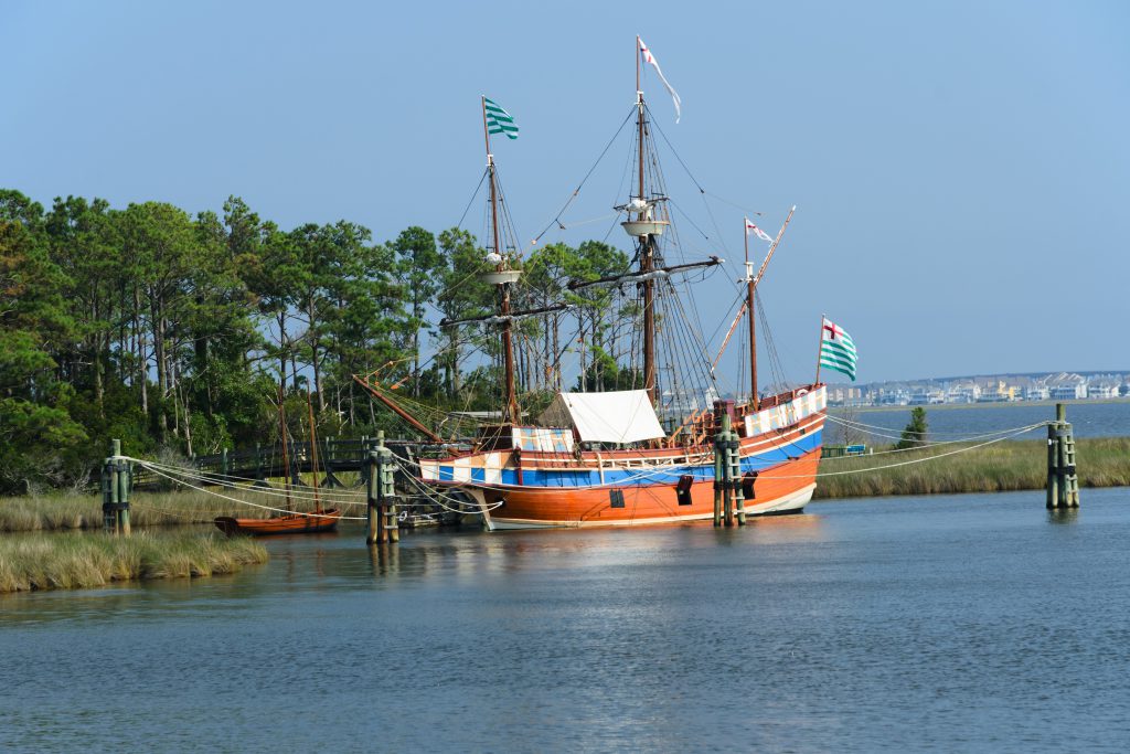
One of the first things you’ll want to do in Manteo is explore some of the historical sites. The Lost Colony which commemorates the first English settlement in America is a great place to start. You can also visit the Elizabethan Gardens, which are beautiful in any season. If you’re interested in learning more about the area’s history, be sure to check out the Outer Banks History Center.
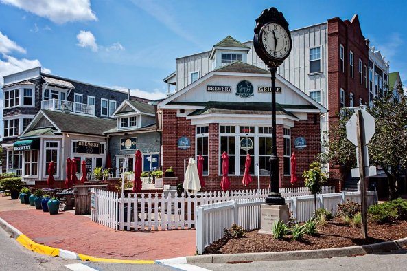
When you’re ready to do some shopping, you’ll find plenty of options in Manteo. The Island Farm is a great place to find local produce and handmade goods. If you’re looking for something unique to take home with you, be sure to stop by one of the many art galleries in town. You’ll find everything from paintings to pottery to jewelry. The Lost Colony Brewery is always a hotspot for taking a break from shopping.
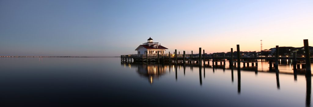
No visit to Manteo would be complete without spending some time on the water. The waterfront is perfect for fishing, swimming, or just relaxing in the sun. If you’re feeling adventurous, you can even go kayaking or stand-up paddle boarding. Whichever activity you choose, you’re sure to enjoy your time spent on the water in Manteo!
So, whether you’re looking for a place to learn about history, do some shopping, or just enjoy the outdoors, Manteo is the perfect destination for you. Be sure to add it to your list of places to visit!
Have you ever been to Manteo? What are some of your favorite things to do in this charming town? Let us know in the comments below!
3 Best Hiking Trails on the Outer Banks to Explore this Summer
Posted on 04/14/2020 in Things to Do.
Do you and your family have a vacation planned to visit the Outer Banks this summer? If you do, then we have to tell you all about the fun and exciting things you can do together. Staying in one of our Nags Head vacation rentals will keep you and your family close to the fun. Let’s take a look at where you and your family can do some exploring this summer together.
Alligator River National Wildlife Refuge

Have you and your family ever been to Alligator River National Wildlife Refuge before? If you haven’t, then you are in for a nice treat. From watching for birds to watching for other wildlife, there is something for all who are looking for an adventure. The Creef Cut Wildlife Trail is about a half-mile trail that allows you to see different trail vegetation and wildlife while on the trail. The Sandy Ridge Wildlife Trail is good for those who are looking for a more rustic trail than the Creef Cut Wildlife Trail. While the trail is good for those who are looking for a hike more in the woods, then this is the trail. There are many other things that your family can do while you explore the Alligator River National Wildlife Refuge on your next vacation to the Outer Banks.
Jockey’s Ridge State Park
Another great location that your family can head to for some trails is Jockey’s Ridge State Park. Here, you and your family can hike one of the three trails that are within the park. The first trail is where your family can hike on 360 feet of boardwalk to view wildlife, dunes, and nature. The Soundside Nature Trail is where your family can explore a short hike to view the Roanoke Sound and more of the park. Tracks in the Sand Trail happens to be a self-guided trail where you can grab an educational trail brochure to explore more. Along with the trails, there is a visitor center and a few other fun activities your family can do together!
Nags Head Town Park
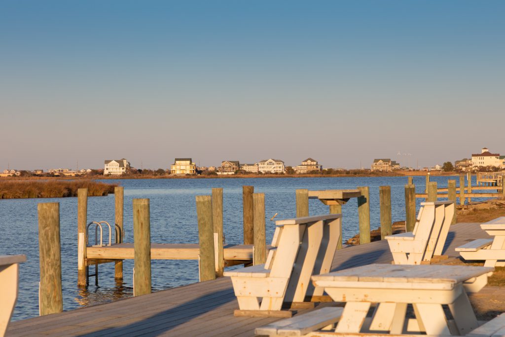
If you feel more like sticking to a park located within Nags Head, then head on over to the Town Park. Here, you and your family can explore the 1.6-mile trail, along with picnic tables, bathrooms, and even a brand new playground for the kids. After you have completed the trail, head back to the car, grab your lunch you may have packed, and enjoy a nice lunch with a cool breeze. Then let the kids play their hearts out on the playground together. What a great way to spend the day and just enjoy time together! You never know what other fun adventures you may find there at the park.
While there are many other trails that you can hike at such as the Cape Hatteras National Seashore Park and the Pea Island National Park, these are the ones we wanted to share with you. If you haven’t booked your summer trip to stay with us in one of our Nags Head vacation rentals, now is the time. We can’t wait to see you and your family as you make new memories on your next vacation!
Plan Your Spring Break to the Outer Banks Today
Posted on 02/23/2020 in Things to Do.
It’s hard to believe that February is almost over, and before you know it, spring break will be upon us. That only means that it will be time to come to the Outer Banks for a week and soak up the sun and surf together as a family. Staying in one of our Kill Devil Hills vacation homes will keep you and your family where the fun and adventures are happening. Let’s look below at a few things that you and your family can enjoy while on vacation this spring break.
Go Kart Fun

One of the best things that you and the family can do is head over to Full Throttle Speedway in Nags Head for an evening full of fun. They have two different tracks that you can check out: the Figure 8 Track and the Super Sea Track. Your family can also experience the different go-karts that they offer, such as the Double Seat, Single, and Junior Racer Karts. The cost of the double seat is $10, the single seat is $10, and the junior seat is $8. Full Throttle Speedway is located at milepost 15.5 on the right-hand side of the Shell Gas Station. You will also find a great adventure golf course that you can have fun at too. What a great evening you can have with the family racing each other on the track!
Avalon Fishing Pier
Have you and your family ever gone fishing while on vacation to the Outer Banks? If you haven’t, then you will want to explore the Avalon Fishing Pier located in Kill Devil Hills. They offer daily, three-day, weekly, and even seasonal fishing passes for your family to enjoy. There are also child passes that are available for kids 12 and under. One of the best things about coming to the Outer Banks is getting to experience fishing off this amazing pier. Spend the day with the kids fishing and making new memories together!
Soak Up the Rays

Spending time doing different things while on Spring Break is something that everyone loves to do, but spending the days on the beach is fun as well. Allow the kids to bring the sand toys and splash in the waves as you sit back and relax. Pack a lunch to bring on the beach as you and the family soak up the rays and enjoy the surf. Vacationing on the Outer Banks is always fun and an adventure as you think about the kids not being in school and you’re ready to relax. This is a great way to recharge your batteries too as you need some relaxation too.
There are many other fun things that you and the family can do while you are on vacation to the Outer Banks this spring break. If you haven’t booked your next trip to stay in one of our Kill Devil Hills vacation homes, now is the time. We can’t wait to see you and the family as you make new memories this spring break!
Best Family Friendly Restaurants on the Outer Banks
Posted on 02/11/2020 in Things to Do.

Are you and your family coming to the Outer Banks for your next family vacation? If the answer is yes, then we have to tell you about the best family friendly restaurants on the Outer Banks. We at Outer Banks Rentals can tell you about some of the best restaurants that you will want to take your family to dine at. Let’s look below at where you and the family can enjoy some great food and fun while you vacation on the Outer Banks this year.
Spanky’s Grille
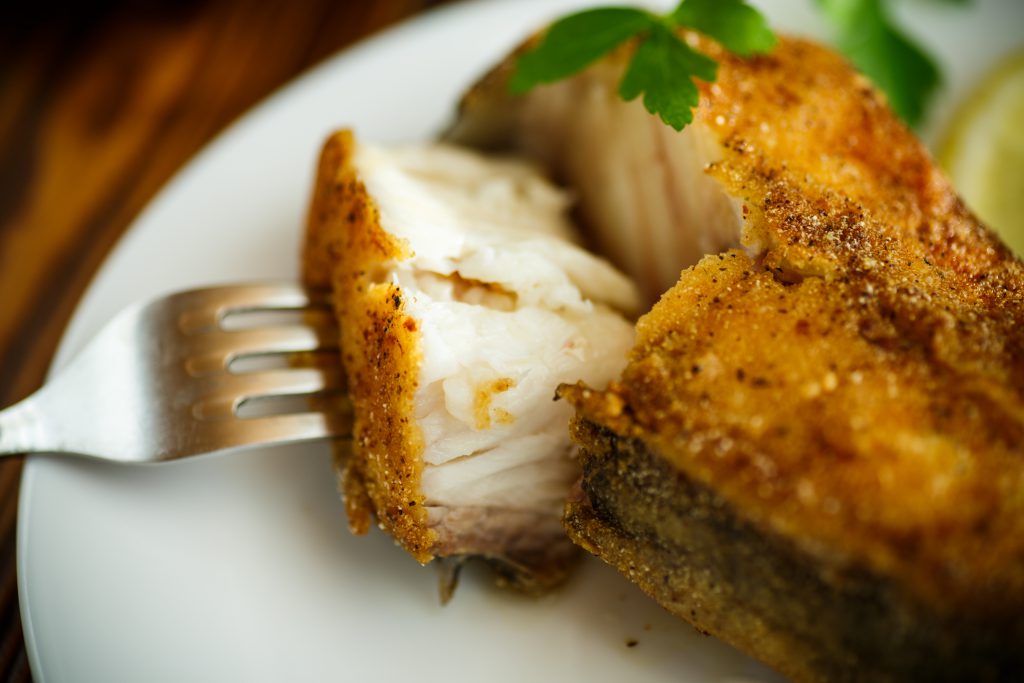
Does your family love hamburgers and hot dogs? If so, then we have the perfect restaurant located in Kitty Hawk at Mile Post 3.5, Spanky’s Grille. Spanky’s Grille was opened in 2004 and has been many families must eat at while on vacation to the Outer Banks. The original menu had hamburgers, hot dogs, corn dogs, chicken nuggets, French fries and more. But the menu has since expanded to include different menu items such as okra, shrimp burgers, catfish, reubens and more. During the winter months, they are closed on Saturday and Sunday’s so they can spend time with their family. Don’t miss this delicious restaurant with the family on your next vacation.
Miller’s Seafood & Steakhouse
Miller’s Seafood & Steakhouse is located in Kill Devil Hills and offers your family breakfast and dinner. This restaurant has been opened for over 40 years and is a family owned restaurant in which they wanted to continue to serve families while on vacation. They have some of the best breakfast on the Outer Banks where you can get some biscuits and gravy, a crabmeat omelette and even a grilled cheese sandwich for the kids. Their dinner menu has quite the feast such as Scallops-n-Bacon, Coastal Carolina Oysters, Crab Legs and a Ribeye. Be sure to check out this restaurant with your family on your next vacation to Kill Devil Hills.
High Cotton Barbeque

Have you and your family ever had Eastern NC BBQ before? If you haven’t, then you will have to go visit High Cotton Barbeque in Kitty Hawk. Opening in 2002, the owner is a native to North Carolina and wanted for others to enjoy the tasty food included the traditional sides and sweet tea. High Cotton Barbeque has family packages to serve the whole family and also plates and sides for you to enjoy. We promise you that you will want to give this restaurant a try on your next vacation!
There are many other family-friendly restaurants that are here on the Outer Banks but wanted to share these with you. If you haven’t booked your next vacation to stay in one of our Kitty Hawk vacation rentals, now is the time. We look forward to seeing you and your family on your next adventure to the Outer Banks!
Take a Winter Vacation to the Outer Banks
Posted on 12/31/2019 in Vacation Tips.
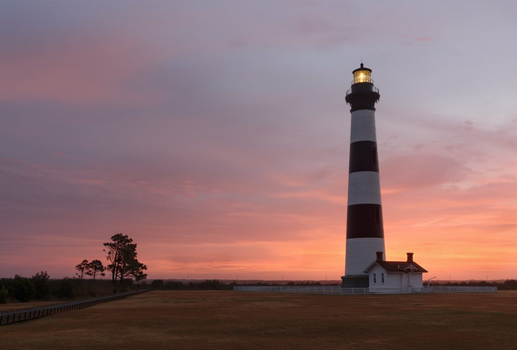
Have you and your family been wanting to explore the Outer Banks on your next vacation this winter? The Outer Banks is a great location to enjoy the beaches, fishing and exploring the island. Staying in one of our Outer Banks vacation rentals will allow your family to stay close to the surf and sand. Let’s look below at a few of the things that you and your family can do on your next vacation to the Outer Banks this winter.
Winter Weather on the Outer Banks
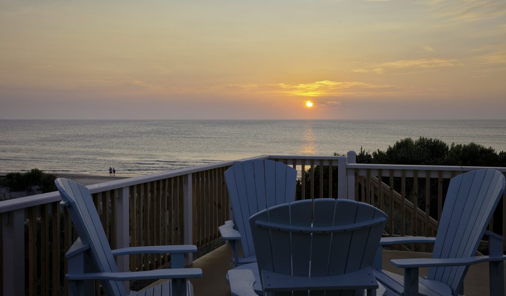
Vacationing to the Outer Banks during the winter months can be fun and your family can enjoy some pleasant weather too. The temperatures can vary between 55° – 60° during the day and between 38° – 40° during the night. It typically rains between 8 – 9 days during January & February, allowing you to enjoy the sunshine more along the coast. Even though the ocean is going to be a lot cooler than it would earlier in the season, it’s still pleasant weather to enjoy.
Specials
Vacationing to the Outer Banks in the winter can have some great perks. During the winter months, we often run specials that you and your family can take advantage of. One of the specials that we offer is book any week during the month of January or February and you can receive 30% off the weekly rental rate on select rentals. Saving money on your vacation can not only help on the wallet but will also allow you to enjoy the beach during the off-season too without the crowds.
Enjoy the Outdoor Activities
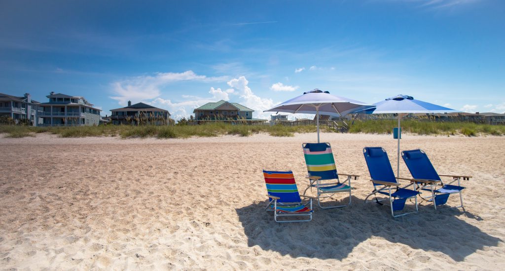
Some of the fun things that you and the family can enjoy while you are on vacation during the winter months would be enjoying the beach. You may find that the kids will enjoy an empty beach where there is enough room for them to run, scream and play together. Another fun activity that you can plan is fishing from the beach. This is a prime time when many loves to explore the beach as you find your new place to fish from. There are so many different things that you can do outdoors together as a family while on vacation to the Outer Banks during the winter.
While there are so many other reasons to vacation to the Outer Banks during the winter, these are just a few we wanted to share with you. If you haven’t booked your next vacation to the OBX this winter, now is the time. We can’t wait to see you and your family in the next few months making new traditions and memories!
Fun Activities to do on the Outer Banks this Christmas
Posted on 11/30/2019 in Holiday Events.
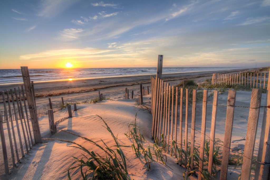
Are you and your family coming to the Outer Banks for you Christmas vacation? If the answer is yes, then we have to tell you all about the fun activities in the area. Spending the holidays at the beach is what every family wants. Staying in one of our Outer Banks rentals will keep you and your family close to the action. Let’s take a peek at a few of the activities you can enjoy while you are on your Christmas vacation.
The Outer Banks Christmas Shop
One experience that you may have never been to is The Outer Banks Christmas Shop. Located in Manteo is where The Christmas Shop has been open since 1967. Shop for unique gifts that you will find only here for those who are looking for something homemade or different. Some fo the items you may find while shopping are signs for your home, Christmas ornaments and even Carolina Coffee. What a wonderful way to go shop a little before it’s time to celebrate with the family!
Start a New Family Tradition

Many have found that starting a new family tradition might as well be started during the holiday seasons. Deck the halls in your Outer Banks rental this year and trim the tree while you’re at it. Make hot apple cider and hot chocolate as you and the family sit on the porch watching the sun set or listening to the waves. There are so many other ways that you can start a family tradition but spending time with you family is the most important one.
While there are many other activities that you can do while you are spending the holidays with us, these are the few we wanted to share with you. If you haven’t booked your next Christmas vacation yet, now is the time. We can’t wait to see you and your family this holiday season as you celebrate with friends and family!
Spend Thanksgiving Week on the Outer Banks
Posted on 10/22/2019 in Holiday Events.

Do you and your family have vacation plans to stay on the Outer Banks this Thanksgiving? If the answer is yes, then you won’t be disappointed in the weather or the events happening that week. The weather on the Outer Banks during the month of November is quite pleasant as the typical temperatures are high 60’s in the day and around 50 degrees at night. Staying in one of our Outer Banks vacation rentals will keep you and the family close to where the fun events are happening. Let’s look below at a few of the events that will be taking place during the Thanksgiving season.
Outer Banks Food Truck Showdown

If you happen to be coming on the Sunday before Thanksgiving, then you are in for a fun treat. The Outer Banks Food Truck Showdown is happening on Sunday, November 24th, from 11:30 a.m. to 3:30 p.m. at the Soundside Event Site in Nags Head. This is where you are able to place your vote on who has the tastiest food, and you are able to eat some of their food. Some of the food trucks that will be there are OBX Frozen Yogurt, Bumbling Bee by Cast Iron Catering Co., and Y’all Eat Yet? Along with great food and quality time with the family, you can listen to some great live music. Don’t miss this fun event that will keep you wanting more of the delicious food!
8th Annual Surfin’ Turkey 5K & Puppy Drum
On Thanksgiving Day, if you’re staying in Cape Hatteras this time, you and your family can enjoy a fun run in the morning. Instead of sleeping in or watching the Thanksgiving Day Parade, your family could be having the time of their lives at the fun run. Join the 8th Annual Surfin’ Turkey 5K & Puppy Drum ½ mile Fun Run this Thanksgiving Day from 8:00 a.m. to 11:00 a.m. over on NC Highway 12 in Hatteras. The proceeds from this race will help support the Hatteras Island Youth Education Fund, which helps fund educational opportunities. What a fun morning you can have with the family as you participate in this fun race!
Hangin’ with Santa & Kites with Lights
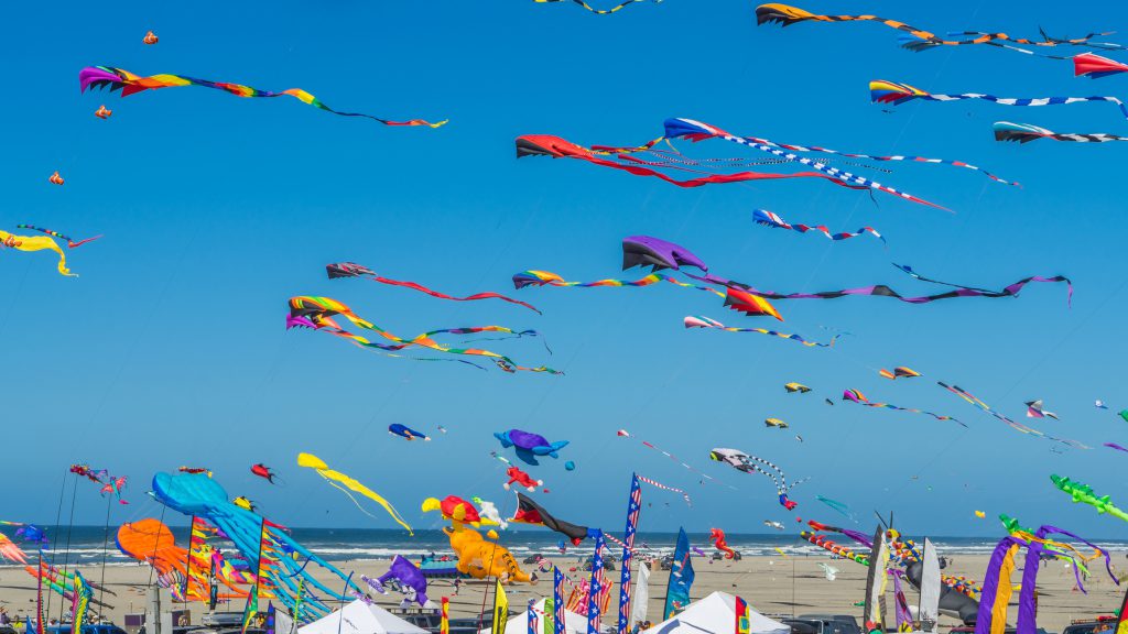
To kick off the holiday season this year, come to Jockey’s Ridge Crossing in Ocracoke. On Friday, November 29th,from 4:00 p.m. to 7:00 p.m., there will be the annual Hangin’ with Santa and Kites with Lights. This fun event is hosted by Kitty Hawk Kites, and it’s a night your kids will never forget. Not only will your kids be able to see Santa Clause and get some of their holiday wishes out to him, but they will also get to see a spectacle of kites flying in the air. Be sure to bring glow sticks and flashlights with you to join in the fun that you will experience.
While there are many other fun events happening during Thanksgiving Day week, these are the few we wanted to share with you. If you still haven’t booked your Outer Banks vacation rental for this coming Thanksgiving, now is the time. We can’t wait to see you and your family as you help celebrate the season this November!
Fun Events Happening on the Outer Banks this Fall
Posted on 09/30/2019 in Festivals.

Are you and your family coming to the Outer Banks this fall for your family vacation? If the answer is yes, then we can tell you all about the fun events happening around town. The Outer Banks is a great place for your fall getaway because you can still enjoy the surf & sand. Staying in one of our Nags Head vacation rentals will keep you and your family close to the fun. Let’s look below at a few of the fun events that are happening this fall on the Outer Banks.
8th Annual Outer Banks Seafood Festival
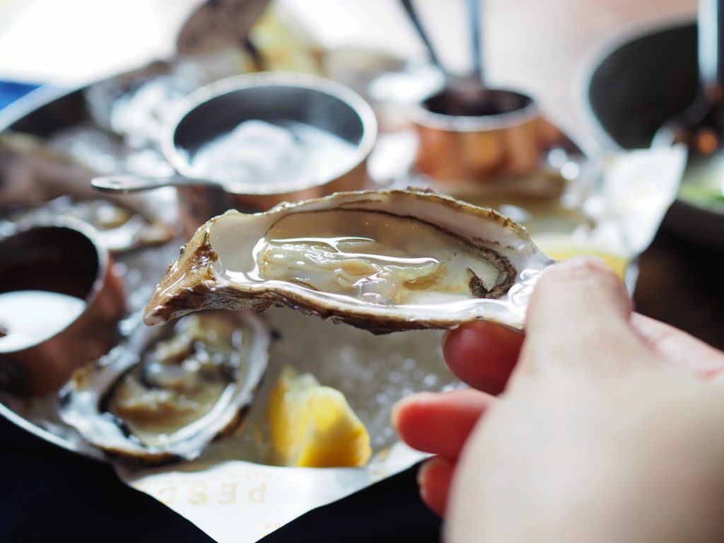
Do you and your family love eating seafood but want a new experience? Come to the 8th Annual Outer Banks Seafood Festival on October 19th in Nags Head. Come and explore this fun event that will not only feature 12 local restaurants serving some of the best seafood around, but so much more. Some of the other things that you can try is craft beer, wine and other beverages around town. And no festival is complete without live entertainment and dancing in the streets. Tickets for this event are $5 for general admission, $50 for the Seabuck Package and $100 Seabuck Package. Don’t miss this fun event from 10:30 am to 6:00 pm as you enjoy this fun festival on the Outer Banks!
3rd Annual Dare to Scare 5K & Fun Run
Are you looking to do something a little different this year on the Outer Banks? Join in on the fun for the 3rd Annual Dare to Scare 5K & Sweet Treat Fun Run. This is being held at the Dare County Center on October 26th beginning at 9:00 am. You can choose to run the 5k or the Sweet Treat Fun Run that begins at 10:00 am. Plus, all of the benefits from the race will go to help the Annual Dare County Center Toy Drive for over 400 local youth residents. Don’t miss out on this amazing and fun run as you get out and see a little of Manteo!
Harvest HAYday
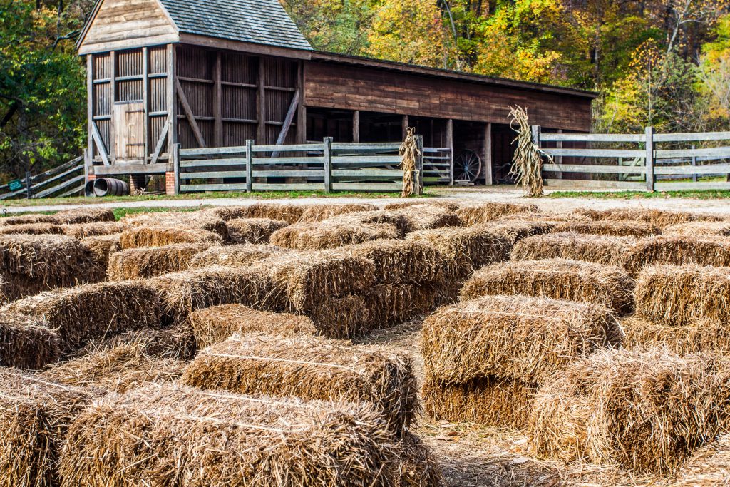
If you are looking for something that is fun for the whole family to enjoy, then head over to The Elizabethan Gardens on October 26th. Harvest HAYday is one of the best places that you can go to and have a great time beginning at 10:00 am to 1:00 pm. From taking a hayride or going through the hay bale maze, there is something for everyone. This year your family can join in some fun activities such as crafts, corn hole toss, face-painting and more. Plus, your kids can learn a little too from the educational stations around the area. This is a first come, first serve event so be sure to grab your tickets early if you can.
There are many other events that are happening this fall, but we wanted to share these with you. If you still haven’t booked your stay in one of our Nags Head vacation rentals, now is the time. We hope that your family has a wonderful stay with us as you explore the local events happening on the Outer Banks!
Be Adventurous on your Next Family Vacation to the Outer Banks
Posted on 08/13/2019 in Things to Do.
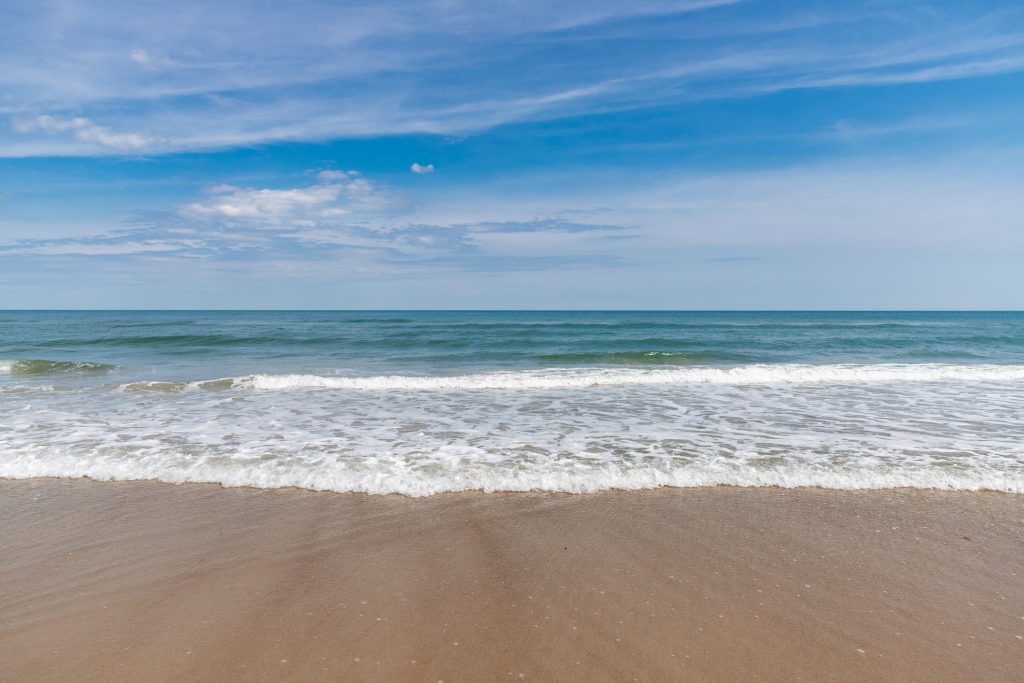
Summer will be coming to an end for many kids soon and now is the time to head to the Outer Banks for an adventure. The Outer Banks has a lot of fun things that everyone in the family can enjoy and we had to tell you about them. Staying with us in one of our Outer Banks vacation rentals will keep you close to where the fun is at. Let’s look below at our top 4 adventures to do with your family.
First Flight Adventure Park
Families love to head over to the First Flight Adventure Park to experience a new adventure on their vacation. Located over at Mile Post 15.5 in Nags Head is where you will find this adventure park. It’s good for everyone in the family age 6 & up and is perfect for those thrill seekers. Not only will your family love this as it will have you think and figure out where you should go next high in the air. Admission to this fun park is 10 & up is $50 and kids 6-9 are $40 but this price does include 2 hours of play time. You will receive the use of a helmet, harness & gloves to be able to enjoy the park. Don’t miss this amazing adventure with the family on your next vacation the OBX.
Wild Horse Adventure Tours
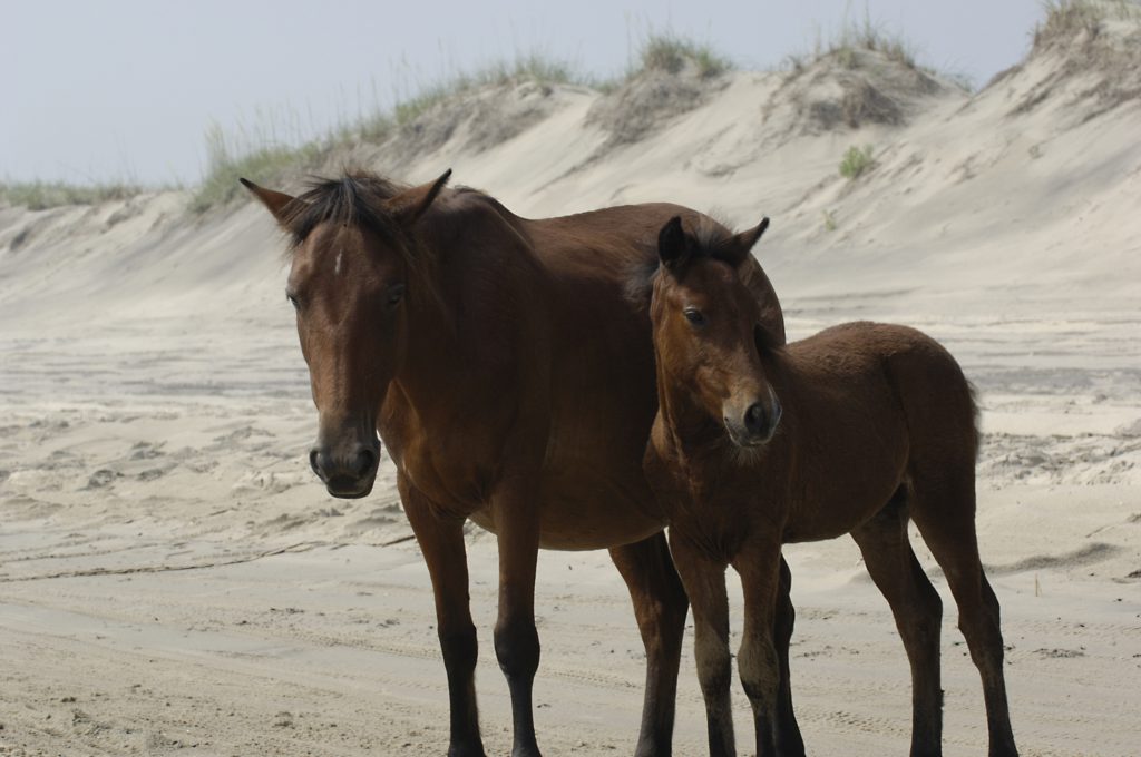
Have you ever wanted to get up close to see the wild horses of the Outer Banks? If the answer is yes, then we have to tell you all about the Wild Horse Adventure Tour. Located in Corolla is where you and your family will be able to see an exclusive access of the Wild Spanish Mustangs. You may even get to see Raymond the mule while you are on this tour as well as the Currituck Beach Lighthouse & the Whalehead Club. Some of the wildlife that you may see while on this tour are dolphins frolicking in the waves, deer and even boar. Prices for the tours are $59 for adults, $57 for seniors and $34 for children 12 & under. Don’t forget to bring drinks and snacks and we can’t forget about your camera!
Kitty Hawk Water Sports
If you are looking for something a little more adventurous, then head on over to Kitty Hawk Water Sports in Nags Head where you can have the time of your lives. They offer something that is fun for the whole family such as tours, jet ski rentals, banana boat rides and more. Depending on what you’d like to do for the day we can guarantee that you will never hear “I’m bored” out of the kids! Prices for the different kinds of activities you are interested in doing are reasonable and everyone can enjoy a good day on the water or enjoying a tour!
Nor’Banks Sailing
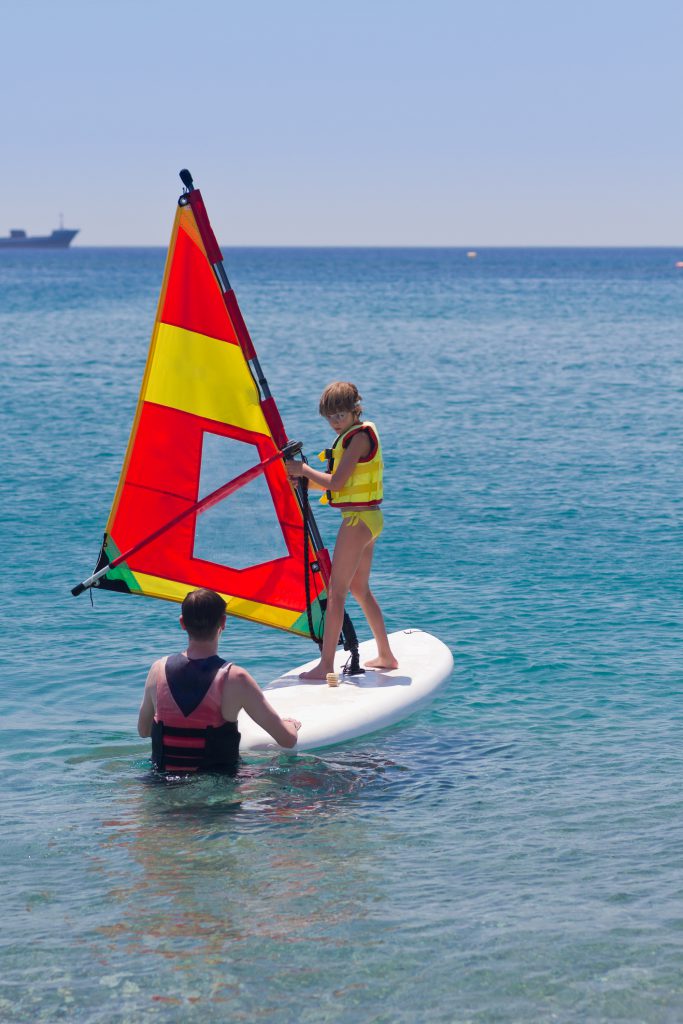
For anyone who loves to spend time on the open water, then this is for you. Depending on what your family is interested in doing there is something for everyone. Nor’Banks Sailing offers their guest a way to learn how to sail in sailing school or can ride the waves by windsurfing. Your family can also rent a pontoon boat to head on our and enjoy some time on the waters making new memories. Prices are very reasonable and everyone in the family will want to come back year after year. Don’t miss this fun adventure on your next vacation to the Outer Banks!
While there are many other fun adventures that are on the Outer Banks, these are the few we thought you’d enjoy. If you still haven’t booked your last getaway to the Outer Banks before school starts, we still have availability. We can’t wait to see you and your family as you make new memories together!


